home

[ Content | Sidebar ]

Mjölnarvägen on Kvarnholmen in Nacka 🇸🇪

December 15th, 2019

Volvo Photo Locations Part 331
Historic Volvo Photography Locations Overview
bookmark www.volvophotolocations.com today!

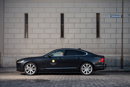
2018 – Volvo S60 on Mjölnarvägen on Kvarnholmen in Nacka 🇸🇪 (Photography by Agnieszka Doroszewicz)

2018 – Volvo S60 on Mjölnarvägen on Kvarnholmen in Nacka 🇸🇪 (Photography by Agnieszka Doroszewicz)

2018 – Volvo S60 on Mjölnarvägen on Kvarnholmen in Nacka 🇸🇪 (Photography by Agnieszka Doroszewicz)
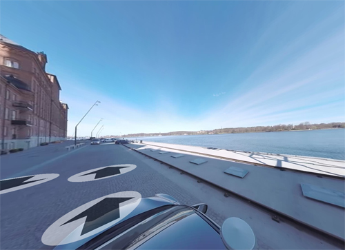
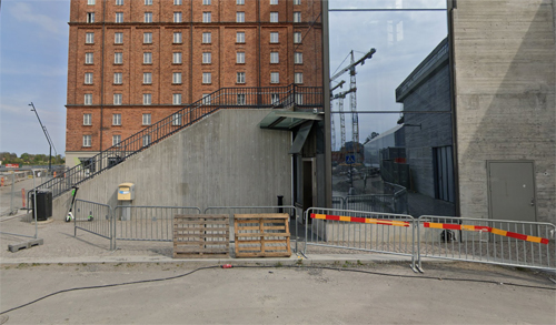
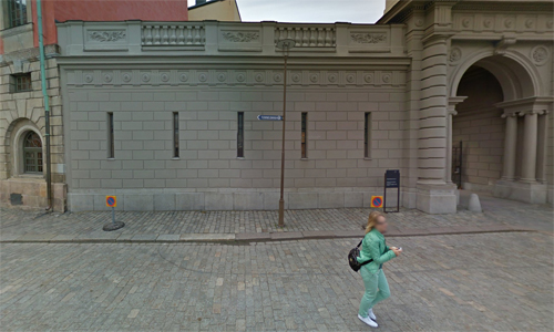
2019 – Mjölnarvägen on Kvarnholmen in Nacka (Hitta Streetview)
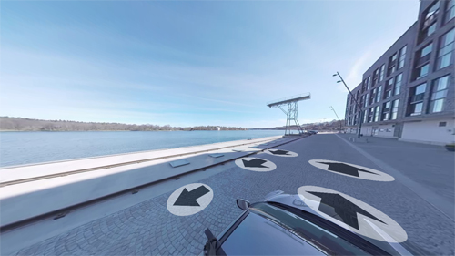
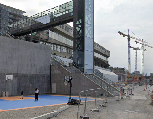
2019 – Mjölnarvägen on Kvarnholmen in Nacka (Hitta Streetview)

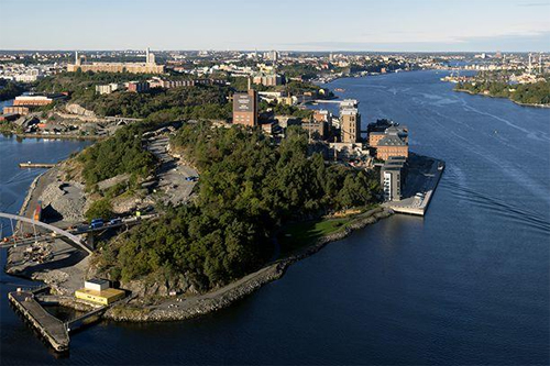
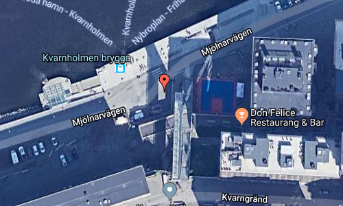
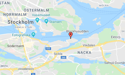
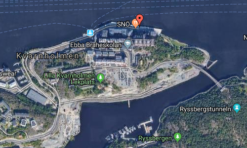
Mjölnarvägen near Kvarnholmen brygga is located in Nacka just outside Stockholm, Sweden.

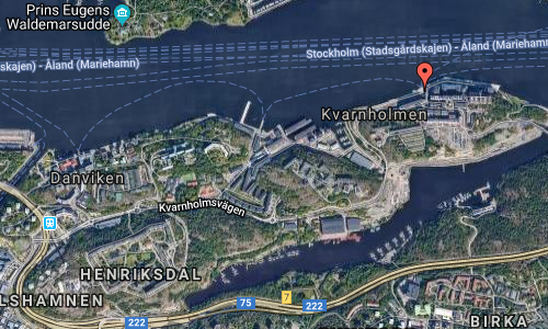
Kvarnholmen is a peninsula in the western part of Nacka municipality in Stockholm County. It is surrounded by Saltsjön on the northern side and Svindersviken on the south and east.

Originally, Kvarnholmen was an island, separated by the Hästholmssundet from the mainland. The strait was filled again in the 1970s to create a better transport route for the island’s industries (including the Kvarnen Tre Kronor and an oil port at the inlet of Svindersviken). The Kvarnholmsbron, as well as the Finnbergstunneln, and Kvarnholmsförbindelsen are entrances to the peninsula.
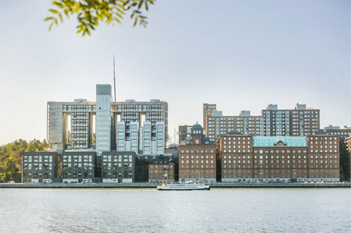
Kvarnholmen, which was originally called Hästholmen, was largely undeveloped until the end of the 18th century, when wealthy Stockholmers allowed summer villas to be built on the island. So it came to be until the end of the 19th century when parts of the island were used for industrial and residential construction. Another early name for Kvarnholmen was Finnsön , which is probably due to the fact that in ancient times the area was often visited by Finns and other seafarers from across the Baltic Sea.

The island’s south side towards Svindersviken offered protected harbor locations, including Gäddviken and Hästholmssundet . Ships that would pass the Great Sea Customs between Kvarnholmen and Blockhusudden could make a stop here. Around 1910, the Hästholms shipyard was built on the north side of the island. The shipyard, which became one of Sweden’s leading yachts, later moved to Lidingö.

Kooperativa Förbundet still owns Kvarnholmen, and its buildings still characterize the island today. KF’s staff homes from the 1930s are inhabited and rented out as rental rights. They consist of two apartment buildings and 30 townhouses. The consumer store was closed in the 1980s, and today there is no public service at Kvarnholmen.
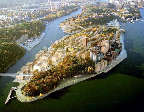
The industrial premises are partly leased out to new businesses, for example the schools Nackademin, Cybergymnasiet and Quarnholmsskolan. In other parts of the old industrial premises there are repairs, TV studios, warehouses and artist’s studios.

Since the mill was closed down, KF has worked on various proposals for how Kvarnholmen should be exploited for new purposes. At present, what seems to have been finally agreed on a proposal, which means that Kvarnholmen will be transformed into a new district with housing and workplaces for several hundred people. However, great consideration will be given to the old industrial buildings and the residential area from the 1930s. One condition was, however, that OK ‘s / Preem’s operations along the Svindersviken with oil storage in the storage room were discontinued, which happened around the turn of the millennium.
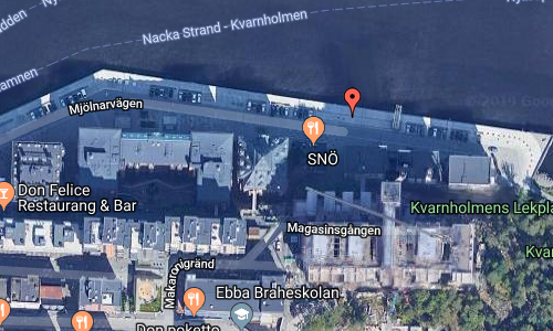
More information at openhousestockholm.se and kvarnholmen.com.

Volvo Photo Locations

Mjölnarvägen near Kvarnholmen brygga in Nacka 🇸🇪

December 15th, 2019

Volvo Photo Locations Part 330
Historic Volvo Photography Locations Overview
bookmark www.volvophotolocations.com today!

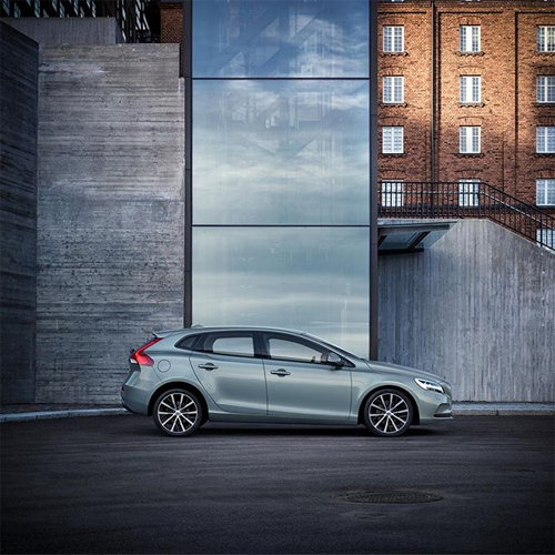
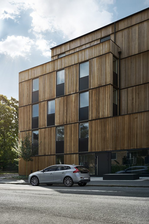
2018 – Volvo V40 at Mjölnarvägen on Kvarnholmen in Nacka Stockholm, Sweden🇸🇪.

2018 – Volvo V40 at Mjölnarvägen on Kvarnholmen in Nacka Stockholm, Sweden🇸🇪.

2018 – Volvo XC90 at Mjölnarvägen on Kvarnholmen in Nacka Stockholm, Sweden🇸🇪.

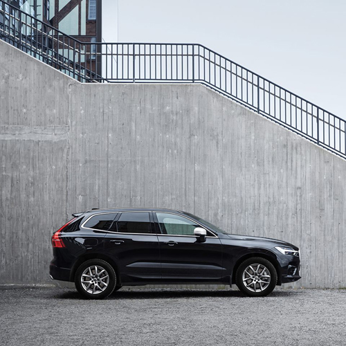
2018 – Volvo XC60 at Mjölnarvägen on Kvarnholmen in Nacka Stockholm

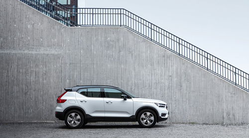
2018 – Volvo XC40 R-Design at Mjölnarvägen on Kvarnholmen in Nacka Stockholm, Sweden🇸🇪.

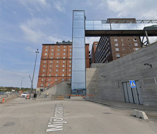
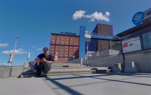
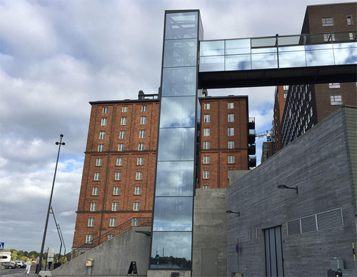
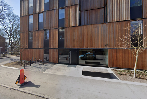
2019 – Mjölnarvägen near Kvarnholmen brygga in Nacka (Google Streetview)

2019 – Mjölnarvägen near Kvarnholmen brygga in Nacka (Google Streetview)

2019 – Mjölnarvägen near Kvarnholmen brygga in Nacka (Google Streetview)

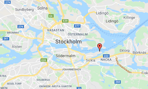
Mjölnarvägen near Kvarnholmen brygga is located in Nacka just outside Stockholm, Sweden.

At Kvarnholmen brygga you van arrive with the boat from Stockholm the entire year.

Kvarnholmen is a peninsula in the western part of Nacka municipality in Stockholm County. It is surrounded by Saltsjön on the northern side and Svindersviken on the south and east.

Originally, Kvarnholmen was an island, separated by the Hästholmssundet from the mainland. The strait was filled again in the 1970s to create a better transport route for the island’s industries (including the Kvarnen Tre Kronor and an oil port at the inlet of Svindersviken). The Kvarnholmsbron, as well as the Finnbergstunneln, and Kvarnholmsförbindelsen are entrances to the peninsula.

Kvarnholmen, which was originally called Hästholmen, was largely undeveloped until the end of the 18th century, when wealthy Stockholmers allowed summer villas to be built on the island. So it came to be until the end of the 19th century when parts of the island were used for industrial and residential construction. Another early name for Kvarnholmen was Finnsön , which is probably due to the fact that in ancient times the area was often visited by Finns and other seafarers from across the Baltic Sea.

The island’s south side towards Svindersviken offered protected harbor locations, including Gäddviken and Hästholmssundet . Ships that would pass the Great Sea Customs between Kvarnholmen and Blockhusudden could make a stop here. Around 1910, the Hästholms shipyard was built on the north side of the island. The shipyard, which became one of Sweden’s leading yachts, later moved to Lidingö.

Kooperativa Förbundet still owns Kvarnholmen, and its buildings still characterize the island today. KF’s staff homes from the 1930s are inhabited and rented out as rental rights. They consist of two apartment buildings and 30 townhouses. The consumer store was closed in the 1980s, and today there is no public service at Kvarnholmen.

The industrial premises are partly leased out to new businesses, for example the schools Nackademin, Cybergymnasiet and Quarnholmsskolan. In other parts of the old industrial premises there are repairs, TV studios, warehouses and artist’s studios.

Since the mill was closed down, KF has worked on various proposals for how Kvarnholmen should be exploited for new purposes. At present, what seems to have been finally agreed on a proposal, which means that Kvarnholmen will be transformed into a new district with housing and workplaces for several hundred people. However, great consideration will be given to the old industrial buildings and the residential area from the 1930s. One condition was, however, that OK ‘s / Preem’s operations along the Svindersviken with oil storage in the storage room were discontinued, which happened around the turn of the millennium.
More information at sv.wikipedia.org and kvarnholmen.com.
Volvo Photo Locations

Skagershuset on Skagersvägen in Årsta in Stockholm 🇸🇪

December 14th, 2019

Volvo Photo Locations Part 329
Historic Volvo Photography Locations Overview
bookmark www.volvophotolocations.com today!

2017 – Volvo V40 at Skagershuset on Skagersvägen in Årsta, Stockholm 🇸🇪.

2019 – Volvo V90 & V90 Cross Country at Skagershuset on Skagersvägen in Årsta, Stockholm 🇸🇪.

2019 – Skagershuset on Skagersvägen in Årsta in Stockholm (Google Streetview)

2019 – Skagershuset on Skagersvägen in Årsta in Stockholm (Google Streetview)

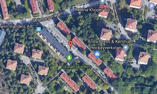
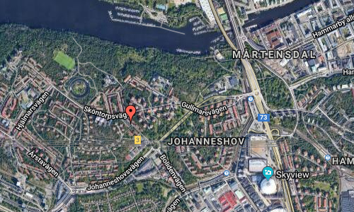
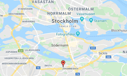
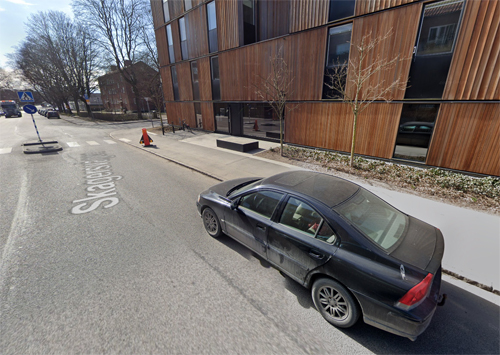
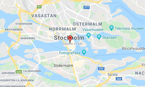
Skagershuset is located on Skagersvägen in Årsta, a suburb in Stockholm, Sweden.

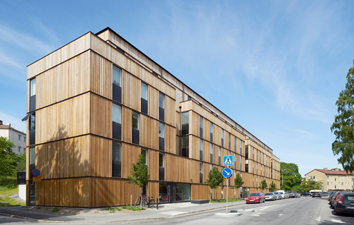
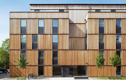
Skagershuset is a multi-dwelling house with wooden facade on Skagersvägen 22-26 in the Årsta district of southern Stockholm. Skagershuset has its name after the street where it is located, and the street in turn is named after Lake Skagern (on the border between Värmland and Västergötland ). The house was ready for occupancy in December 2013 and was named the winner of the Stockholm Building of the Year 2014. The Skagershuset was among the ten nominations for the Wood Prize 2016, this among 139 participating grants.
The new building is an example of the application of Promenadstaden , an overview plan for Stockholm, which wants to strengthen central Stockholm by densifying neighboring suburbs and where, among other things, creating a denser, more cohesive, more diverse and vibrant urban environment. In this plan, Årsta is covered by “the expansion of the central city”.

In a former green area in the corner Sköntorpsvägen / Skagersvägen / Vindomsvägen in Årsta, between 2012 and 2013, a slab house with 33 apartments was erected. The builder and contractor were Åke Sundvall Projekt and Åke Sundvall Byggnads, who employed OWC Arkitekter to design the building. The Skagershuset was built in a culturally interesting area with narrow houses from the 1940s and 1950s, designed by, among others, the architect firm Wejke & Ödéen . OWC Architects chose to link exterior to the surrounding buildings. The facades, however, received no surface of plaster or brick (otherwise usually in classic narrow houses in Årsta) but a cladding of fire-impregnated cedar from Moelven Wood AB, which consists of three different types of panel profiles with widths between 93 and 193 millimeters.

The building height is four floors and a retracted penthouse. The facade faces north and the street is closed while the south side was opened with balconies and terraces. The frame and facade of the house are made of wood. The entire complex was manufactured at the Moelven Building Module in the form of 112 prefabricated volume elements, which were transported to the site. In this way, the house could be pre-manufactured “under the roof” in a climate-protected environment and the production time could be limited to one year.

More information at sv.wikipedia.org, svenskttra.se and skagershuset.se.

Volvo Photo Locations

Arkitekturskolan KTH at Osquars backe in Stockholm 🇸🇪

December 8th, 2019

Volvo Photo Locations Part 328
Historic Volvo Photography Locations Overview
bookmark www.volvophotolocations.com today!

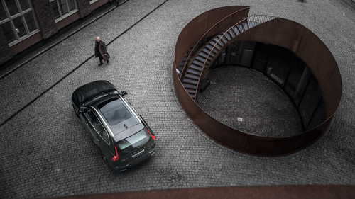
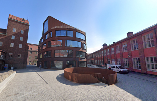
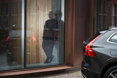
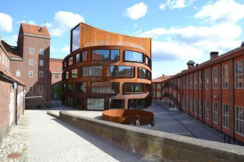
2017 – Volvo XC60 at Arkitekturskolan KTH at Osquars backe in Stockholm, Sweden 🇸🇪

2019 – Arkitekturskolan KTH at Osquars backe in Stockholm (Google Streetview)

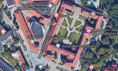
Arkitekturskolan KTH is located at Osquars backe in Stockholm, Sweden.

Arkitekturskolan KTH or the School of Architecture at Osquars Backe 9 on the Royal Institute of Technology’s campus at Valhallavägen in Stockholm was built in 2013-2015. It was designed by Tham & Videgård Arkitekter and replaced the School of Architecture’s former building on Östermalmsgatan.

Swedish architecture and design is about putting people first, says architect Andreas Helgesson Gonzaga

At the turn of the year 2006-2007, Akademiska Hus together with KTH and in collaboration with Sweden’s architects went out with an open invitation to design a new school building for the School of Architecture KTH and entrance to KTH. Tham & Videgård Architects was given the task of designing the new school.

A detached oval four-storey house was placed in the adjoining courtyard space. The facades of stainless steel cortens steel are curved and made up of frames with offset openings and glass sections. The idea of ​​the curved contour is to shorten the visual length of the facades and open views of the corners. It also provides a varied shadow and light game. In height and color, the building connects to the surrounding older buildings’ brick facades.

Inside, the clean concrete is visible in the facade, as is the stairwell. The lighter walls are clad in wood. A central hall forms a natural exhibition space in the building. It links to studios, exhibition rooms, computer rooms and workshops. In the entrance hall you will find Jonas Dahlberg’s sound artwork An imagined city from 2015. On floors 3, 4 and 4 are the drawing rooms with open planes and three meters in ceiling height, but with the possibility of subdivision into smaller room formations. On floor 2 you will find offices, service functions, meeting rooms and kitchenette. Adjoining the penthouse are roof terraces.

On October 12, 2015, the building was inaugurated. The construction cost for the 8,800 square meters amounted to just over SEK 400 million.

It was awarded the Kasper Salin Prize in 2015 and in the same year it was nominated for Construction of the Year. The building took first place in the architectural competition of the Stockholm Building of the Year 2016 with the motivation: “A finely adapted addition in a narrow environment where the facade’s rust-red corten steel, with its organic form, gives both a soft and uplifting impression. A generous house that makes the visitor feel both curious and invited.”

More information at sv.wikipedia.org, www.volvocars.com and akademiskahus.se.

Volvo Photo Locations

Högvaktsterrassen in Gamla Stan in Stockholm 🇸🇪

December 8th, 2019

Volvo Photo Locations Part 329
Historic Volvo Photography Locations Overview
bookmark www.volvophotolocations.com today!

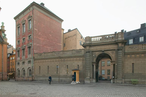
2016 – Volvo S90 at Högvaktsterrassen in Gamla Stan in Stockholm 🇸🇪.

2019 – Högvaktsterrassen in Stockholm (Google Streetview)

2019 – Högvaktsterrassen in Stockholm (Google Streetview)

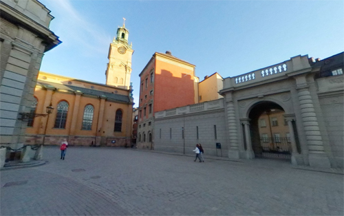
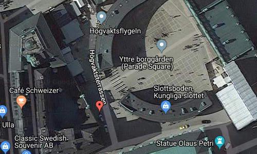
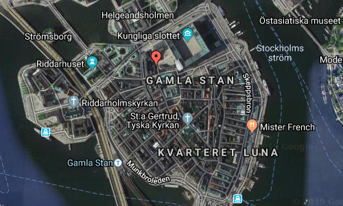
Högvaktsterrassen or “Main Guard Terrace” is a street in Gamla stan, the old town in central Stockholm, Sweden passing west of Yttre Borgården, the outer court of the Stockholm Palace.

The street stretches north from the Stockholm Cathedral at Storkyrkobrinken and ends in a terrace offering a panoramic view of the Riksdag Building, the square Mynttorget and the northern ramp of the palace, Lejonbacken. It is delimited to the east by the two curved western wings of the Royal Palace, and to the west by a state-owned annex composed by the Oxenstierna Palace and Beijer House and serving as offices and the workrooms of the court.

The area north of the cathedral and west of the Medieval palace Tre Kronor (“Three Crowns”), burnt down in 1697, was known as Helvetet (“Hell”). The background of this atrocious name have been subject for some scholarly disputes; some suggesting it reflexes the popular belief the area north of churches were the location of evil (and therefore suitable for suicides and criminals), while other found references in Norse folklore where the “Kingdom of the Dead” was believed to be located to the north, and, ‘Hell’ still not associated with the pejorative meaning of today, was simply used to indicate northern locations in general.

Historical records from the 15th century describes the area as the location for the city’s executioner during the years 1491–1528, and for the city’s school building and the royal mint in the 1430s. Among the numerous alleys once found in the area were many craftsmen’s workshops – shoemakers, saddlers, blacksmiths, bakers, etcetera. On a 16th-century map, the area is taken up by a slope leaning north with a block occupying the location for the present street, a block not present on a map dated 1626, instead suggesting the royal gardens were located here. In 1653, the Chancellor Axel Oxenstierna (1583–1654) started to build his palace still present on the south-western corner of the street, while both his old residence and that of Herman Wrangel (1587–1643) were demolished in the 1740s when the wings of the Main Guard were built.

In 1921, it was suggested the street should be named Kristina Gyllenstiernas skans (“Sconce of. .”) after Christina Gyllenstierna (1494–1559), wife of Sten Sture the Younger (1493–1520), whose statue, found nearby at the time, reminded of her bravely defense of the palace against the Danish army in 1520. However, some discussions concerning the city’s right and need to name the location in the first place, eventually resulted in the present name suggested by the linguist Adolf Noreen (1854–1925).

More information at en.wikipedia.org and folketshusochparker.se.

Volvo Photo Locations

Bio Rio on Horntulls strand in Stockholm 🇸🇪

December 8th, 2019

Volvo Photo Locations Part 328
Historic Volvo Photography Locations Overview
bookmark www.volvophotolocations.com today!

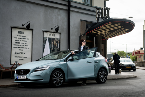
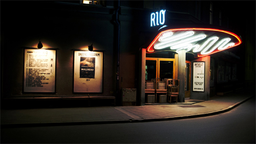
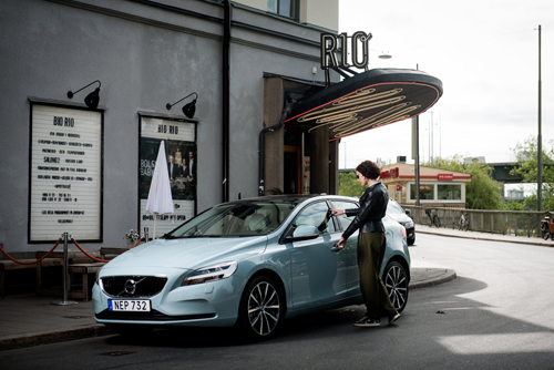
2016 – Volvo V40 at Bio Rio on Horntulls strand in Stockholm 🇸🇪

2016 – Volvo V40 at Bio Rio on Horntulls strand in Stockholm 🇸🇪

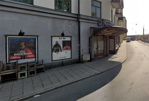
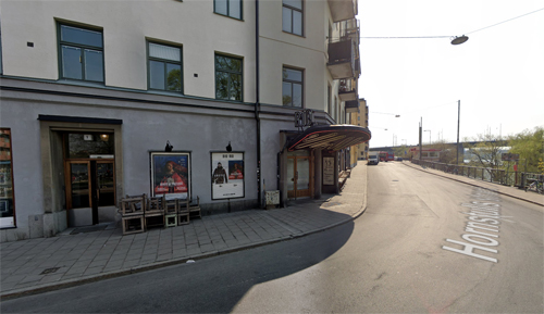
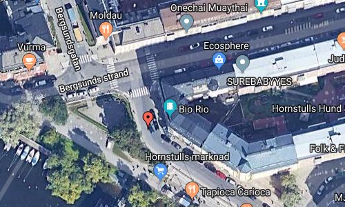
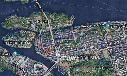
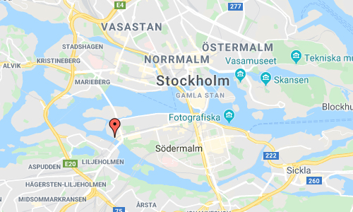
2019 – Bio Rio on Horntulls strand in Stockholm (Google Streetview)

2019 – Bio Rio on Horntulls strand in Stockholm (Google Streetview)

Bio Rio is a cinema located on Horntulls strand in Stockholm, Sweden.

Biografen Rio or the cinema Rio is a blockbuster cinema at Hornstull beach 3 on Södermalm in Stockholm. The cinema was inaugurated in 1943 as one of the Ri-Theaters and had been designed in a funkis style by the architect Albin Stark, who also designed the Chinatheatre at Berzelii park. The cinema was sold to a new owner in 1973 and is now owned by Folkets hus och parker.

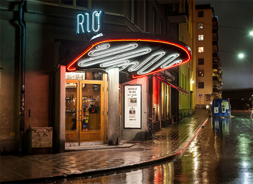
Rio was inaugurated in the middle of the Second World War on November 15, 1943 and the interior was affected by the war’s lack of material. It became Ri-Theaters thirteenth cinema and the last one to be staged in Stockholm’s inner city in many years. It was not until 1959 that the Sergelteatern came into the new Hötorgscity. Rio had a large upright canopy with neon loops and the cinema’s name was in large neon letters on the canopy roof. As an inaugural film, the Road People were shown revolt with Ronald Reagan in the lead role.

In 1973, the cinema Rio was transformed into a neighborhood cinema by René Reiss. The cinema was largely similar since the 1940s and was considered to have been a cultural institution at Hornstull for decades. The cinema has been threatened with closure a number of times and name collections, calls and support gals have been arranged to keep it alive. In 2008, René Reiss lost the municipal cultural support and he eventually sold the company. The cinema has been taken over by Folkets hus and parks which modernized with digital technology and the opportunity to view 3D films.

In the spring of 2009, the cinema underwent a major renovation. Externally, the neon sign “RIO” has come back into place in a somewhat softer form and the typical neon loops under the screen light up the entrance. Support for the restoration was received, among others. from King Gustaf VI Adolf’s fund for Swedish culture and the County Administrative Board of Stockholm County .

More information at sv.wikipedia.org and folketshusochparker.se.

Volvo Photo Locations

Maltesholms Slott in Tollarp near Kristianstad 🇸🇪

December 8th, 2019

Volvo Photo Locations Part 327
Historic Volvo Photography Locations Overview
bookmark www.volvophotolocations.com today!

1985 – Volvo 740 at Maltesholms Slott in Tollarp near Kristianstad, Sweden 🇸🇪

1985 – Volvo 740 at Maltesholms Slott in Tollarp near Kristianstad, Sweden 🇸🇪

2019 – Maltesholms slott (Wikipedia)

2019 – Maltesholms slott (Wikipedia)

Maltesholm Castle (Swedish: Maltesholms slott) is a large manor house located in Kristianstad Municipality, Scania, in southern Sweden. The castle has been passed down for generations and is now the private residence of the Baron Palmstierna. The beautiful garden is open to the public.

The castle was originally constructed between 1635 and 1638 by the high constable of Kristianstad, Malte Juel, during the Danish rule of Scania, but the history of the estate goes back to the Middle ages and it was owned by the Brahe family. Typical for its time, the castle was a Renaissance manor built in brick with three floors, a staircase tower with an elaborate spire, two crow-stepped gables and surrounded by a large moat.

During the life of Lord Malte Ramel, one of the richest men in Sweden of the time, the domains were greatly expanded. His son Hans Ramel began reconstructing the castle according to the style of the late 18th century. It was completed in 1780 in the style of Swedish classical palace; the only remains of the Renaissance castle are the moat and the year “1680” marked on the facade. Hans Ramel also constructed a 1.3 kilometers long stone road leading up to the Mansion through the undulating landscape. The road had to be even and it took almost 50 years to complete. The laborers had to bring a rock every day to the Manor for the construction and there was a grateful saying amongst the workers: If it wasn’t for the Folly of a Rich man there wouldn’t be bread for the Poor.

In the garden you can find an enormous douglas fir which measures 35 metres tall and is more than 100 years old. There is also a pavilion by the great classical Swedish architect Carl Hårleman.

More information at sv.wikipedia.org and maltesholm.se.

Volvo Photo Locations

1 Kungsportsavenyen in Göteborg 🇸🇪

December 8th, 2019

Volvo Photo Locations Part 326
Historic Volvo Photography Locations Overview
bookmark www.volvophotolocations.com today!

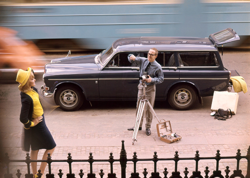
1965 – Volvo P220 Amazon on 1 Kungsportsavenyen in Göteborg 🇸🇪

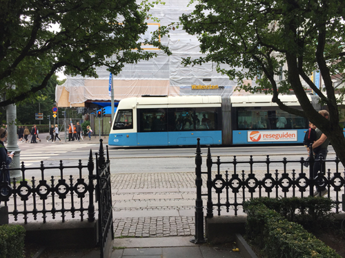
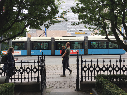
2017 – 1 Kungsportsavenyen in Göteborg (own photo)

2017 – 1 Kungsportsavenyen in Göteborg (own photo)

Kungsportsavenyen 1 is the first building on the Kungsportsavenyen, commonly known as Avenyn in Göteborg, Sweden.

Kungsportsavenyen is an esplanade and Göteborg’s parade street. It runs through the district of Lorensberg and extends from the Kungsportsbron at Vallgraven in a south-easterly direction up to Götaplatsen, where the last bit is a slight uphill slope. The street is about 840 meters long, and is numbered from 1 to 45.

The name Kungsportsavenyen was the original from the city plan changes on September 5, 1867. But it was early questioned, and for example in 1880 it was proposed that the street should instead be called Gustaf Adolfsgatan and in March 1882 it was decided that the street should be renamed Kungsportsgatan. But the decision was withdrawn after a few months by a small majority, when some 30 well-known Gothenburg residents, tenants and homeowners on the new street, wrote to the city council and asked to get back “the avenue name.” They had discovered that they would be obliged to re-fund their addresses.

The avenue has along large parts of the stretch ten meters wide sidewalks that were originally gardens. On February 1, 1972, a proposal was made to amend the city plan for all street land between Storgatan and Engelbrektsgatan, and for neighboring courtyard land in all the six neighborhoods concerned. The purpose was to transfer all courtyards within the plan area to public place land. However, the city plan regulations from 1938 remained for the Borganäs and Visborg blocks , meaning that the courtyards would be kept fenced and planted.

It was not until the Jubilee exhibition in Göteborg in 1923 that the street was extended all the way to Götaplatsen. The gate to Lorensberg Park – which then closed the avenue – was thus moved to the location of the current Elite Park Avenue hotel.

More information at sv.wikipedia.org.

Volvo Photo Locations

Spiaggia di Seno dell’Arena at Contrada Macari in San Vito Lo Capo – I 🇮🇹

December 7th, 2019

International Volvo Photo Locations Part 400
Historic Volvo Photography Locations Overview
bookmark www.volvophotolocations.com today!

1997 – Volvo V40 at Spiaggia di Seno dell’Arena Calazza at Contrada Macari in San Vito Lo Capo, Trapani, Italy 🇮🇹.

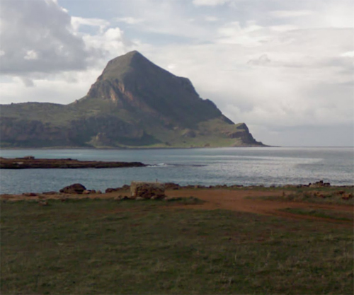
2019 – Spiaggia di Seno dell’Arena (Google Streetview)

2019 – Spiaggia di Seno dell’Arena (Google Streetview)

Spiaggia di Seno dell’Arena is located at Contrada Macari in San Vito Lo Capo on Sicily, Italy.

From this place at the north west side of Sicily, you have a great view on Monte Cofano, which ids located in Riserva Naturale Orientata Monte Cofano.

The Monte Cofano Oriented Nature Reserve is a protected natural area of Sicily, established by decree dated 07/25/1997 by the Sicilian Regional Authority “Territory and Environment” and managed by the Sicilian State Forestry Authority.

Monte Cofano is a mountainous limestone promontory, with a characteristic triangular shape overlooking the sea, which reaches a height of 659 m. It is located on the coast of the province of Trapani , at the eastern end of the Gulf of Bonagia.
It is included in the municipality of Custonaci, along the coast that from Trapani leads to San Vito Lo Capo. The area of ​​the Reserve extends for 537.5 hectares, of which 325.5 are zone A and 185 area B or pre-reserve. In this area there is a small seasonal wetland, a torrential gorge (Gole di Cipollazzo) and numerous karat phenomena related to the remodeling of the limestone by water, both on the surface (dolines and swallow holes) and in depth (caves).

Mount Cofano is a mountain in the province of Trapani, in Sicily. It divides the Gulf of Bonagia from the Gulf of Macari, and is included in the Natural Reserve of Mount Cofano.

More information at it.wikipedia.org and ancient.eu.

Volvo Photo Locations

Via della Domus Aurea near Piazza de Colosseo in Rome – I 🇮🇹

December 7th, 2019

International Volvo Photo Locations Part 399
Historic Volvo Photography Locations Overview
bookmark www.volvophotolocations.com today!

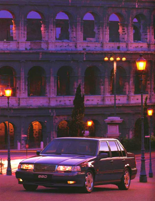
1995 – Volvo 960 at Via della Domus Aurea with view on Piazza de Colosseo and the Colosseo in Rome, Italy 🇮🇹.

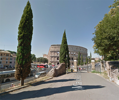
2019 – Via della Domus Aurea near Piazza de Colosseo (Google Streetview)

Via della Domus Aurea is located near Piazza de Colosseo in Rome, Italy.

The Domus Aurea (Latin for “Golden House”) was a vast landscaped palace built by the Emperor Nero in the heart of ancient Rome after the great fire in 64 AD had destroyed a large part of the city and the aristocratic villas on the Palatine Hill.

Nero’s Golden House (the Domus Aurea) in Rome was a sumptuous palace complex which played host to the wild parties of one of Rome’s most notorious emperors. Besides using the finest marble and decoration such as fine wall-painting and gilded colonnades, the building was also a technical marvel with soaring domes, revolving ceilings, ornamental fountains and even waterfalls running down the walls.

Following the devastating fire of 64 CE which had destroyed large areas of the Aventine and Palatine hills, Nero decided to take the opportunity to build a huge new palace. To have enough space for the project the emperor – already unpopular due to accusations of a slow response to the fire and even possibly having started it – seized large areas of land owned by aristocrats and even carved into the Oppian hillside in the building’s rear. For the construction of the palace Nero turned to the architect Severus and the engineer Celer, already celebrated as masters of grand architecture, whilst for the interior decoration and wall-painting he turned to Famulus whose work would be studied centuries later by Renaissance artists. When the whole magnificent project was finally finished Nero declared with satisfaction: ‘Now I can begin to live like a human being’.

Following Nero’s death, and with his successors wishing to distance themselves from this unpopular emperor, the building was abandoned and stripped of much of its precious marble for reuse elsewhere. Most of the structure has disappeared under the foundations of later buildings such as the Baths of Trajan or lies buried. So too, the gardens were built over and the great lake was drained and the Colosseum built on top. In Medieval times the site became overgrown and was used to grow vegetables and vines, a tranquil contrast for what was once the site of Imperial Rome’s most raucous and debauched partying.

More information at en.wikipedia.org and ancient.eu.

Volvo Photo Locations