home

[ Content | Sidebar ]

Sutter-Stockton Garage on Stockton St in San Francisco – USA 🇺🇸

December 12th, 2018

International Volvo Photo Locations Part 344
HOME - Volvo Photo Locations
HOME www.volvophotolocations.com

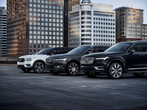
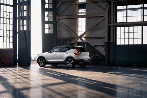
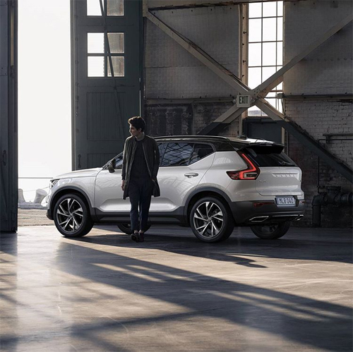
2022 – Volvo XC40, XC60 and XC90 (Europe versions) at Sutter-Stockton Garage on Stockton St in San Francisco, USA 🇺🇸
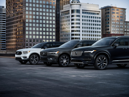
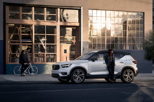
2017 – Volvo XC40, XC60 and XC90 (US versions) at Sutter-Stockton Garage on Stockton St in San Francisco, USA 🇺🇸
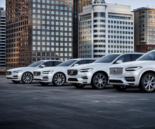
2017 – Volvo S90, V90, XC60 and XC90 T8 Twin Engine AWD Inscription in Crystal White Pearl on Sutter-Stockton Garage at 444 Stockton St, San Francisco, CA, USA 🇺🇸
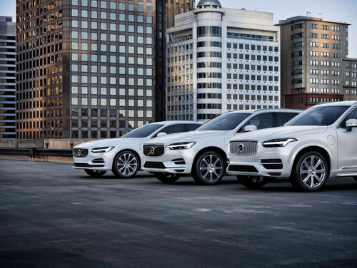
2017 – Volvo S90, XC60 and XC90 T8 Twin Engine AWD Inscription in Crystal White Pearl on Sutter-Stockton Garage at 444 Stockton St, San Francisco, CA, USA 🇺🇸
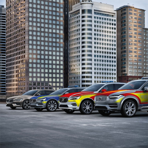
2017 – Volvo V60, V90, XC60 and XC90 as German Spezialfahrzeuge on Sutter Stockton Garage in SF 🇺🇸

2022 – Volvo XC60 and XC90 Twin Engine on Sutter-Stockton Garage at 444 Stockton St, San Francisco, CA, USA 🇺🇸.
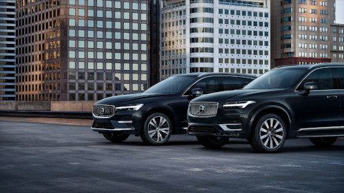
2022 – Volvo XC60 and XC90 Twin Engine on Sutter-Stockton Garage at 444 Stockton St, San Francisco, CA, USA 🇺🇸.
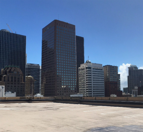
2018 – Sutter-Stockton Garage on Stockton St in San Francisco (Google Streetview)
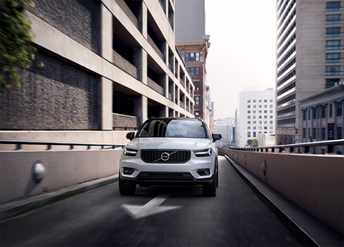
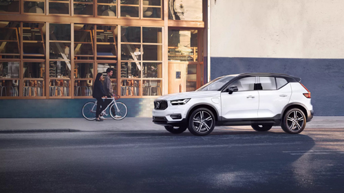
2017 – Volvo XC40 at Exitlane of Sutter-Stockton Garage in SF USA 🇺🇸
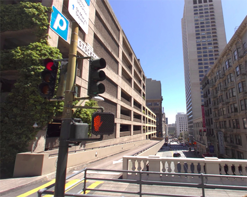
2018 – Sutter-Stockton Garage on Stockton St in San Francisco (Google Streetview)
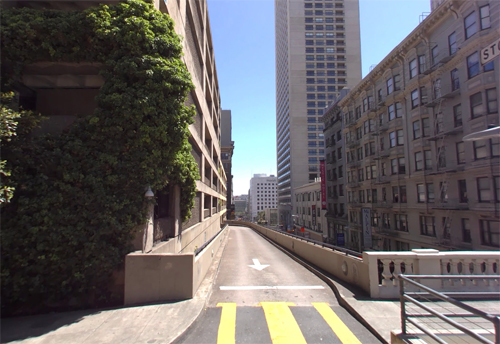
2018 – Sutter-Stockton Garage on Stockton St in San Francisco (Google Streetview)

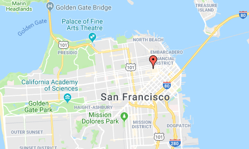
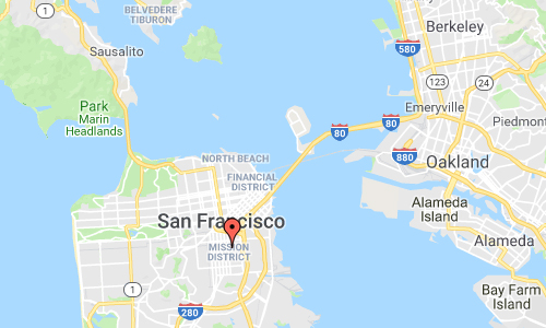
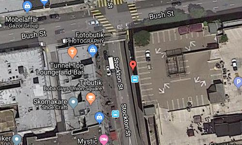
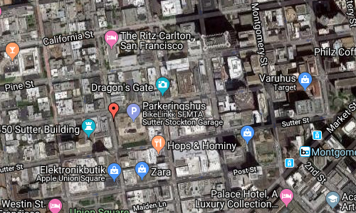
The Sutter-Stockton Garage is located on the Stockton St and Bush St in Downtown San Francisco, USA.
The exact location is the exit lane of the parking towards Bush Street.

This exit lane is just above the south portal of the Stockton Street Tunnel, a tunnel in San Francisco, California, and carries its namesake street underneath a section of Nob Hill near Chinatown for about three blocks. The south portal is located just shy of Bush Street, which is about two blocks to the north of Union Square. The north portal is located just to the south of the Sacramento Street intersection.
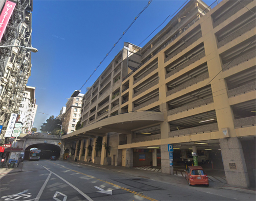
The tunnel was built to decrease the grade through the hill. Before the tunnel was built, the maximum grade along the route of Stockton north from its intersection with Sutter was 18% and the maximum grade south from the intersection with Sacramento was 12%. The tunnel was built with a maximum grade of 4.29% between Sacramento and Sutter. Initial plans in 1909 called for a tunnel 430 m long. The planned tunnel was shortened in 1910 to 230 m, with a width of 17 m and a height of 25 feet (7.6 m), with stairways connecting the tunnel with Pine and California streets.[4] The bore was narrowed slightly in 1912, with a total planned width of 42 feet (13 m) and a height of 18 feet (5.5 m).[8]

Construction involved lowering Stockton Street near where it passes into the tunnel from the South, evidence for which can still be seen at the building of 417 Stockton Street (Mystic Hotel), where the basement became the ground floor and the former front door is now a visibly marked window bay on the second floor.
More information at en.wikipedia.org and www.sfmta.com.

Thanks to Changyoung Jeong for finding this location!

Volvo Photo Locations

Tartine Manufactory on Alabama St in San Francisco – USA 🇺🇸

December 11th, 2018

International Volvo Photo Locations Part 343
HOME - Volvo Photo Locations
HOME www.volvophotolocations.com

2017 – Volvo XC40 at the Tartine Manufactory on 588 Alabama St in San Francisco, USA 🇺🇸

2017 – Volvo XC40 at the Tartine Manufactory on 588 Alabama St in San Francisco, USA 🇺🇸

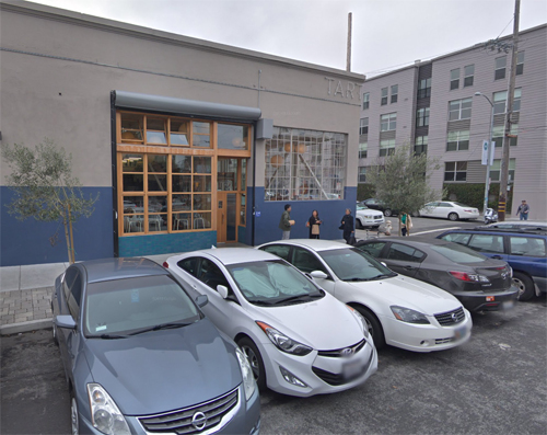
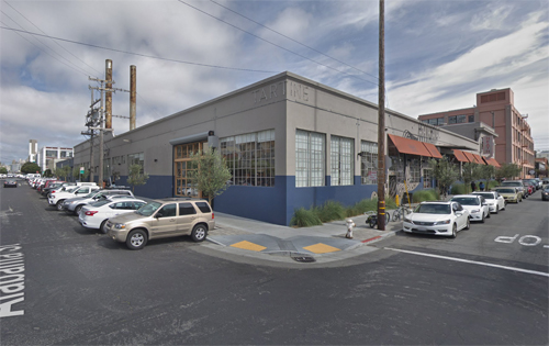
2018 – Tartine Manufactory on Alabama St in San Francisco (Google Streetview)

2018 – Tartine Manufactory on Alabama St in San Francisco (Google Streetview)

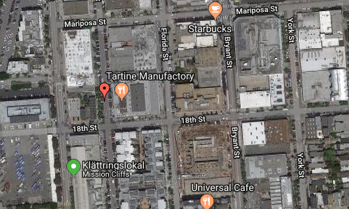
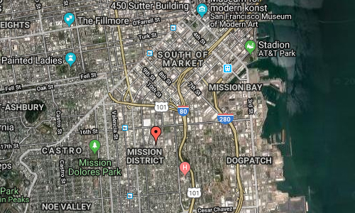
Tartine Manufactory is located on the corner of on Alabama St and 18th St in the Mission District in San Francisco, USA.

The Tartine Manufactory is an idea that grew out of Tartine Bakery and its ever-evolving philosophy on flavor, craft and human health. They hope the platform of collaboration allows many friends, thought leaders, chefs and farmers to challenge the industry, create beautiful food and improve the livelihoods of every link in the chain.

Tartine Manufactory has picked the right time to start serving dinner, at a time when San Franciscans need nourishment in both body and soul. The talented team, which includes general manager Charles Chen and bar manager Ashley Miller, have been ramping up for the evening service since opening in August. Now, after a series of ticketed dinners to allow the team to get their ducks in a row with service, dinner has launched to the general public, starting tonight.

Chef Sam Goinsalvos has created a menu that starts with co-founder Chad Robertson’s bread of course, including spreads like cultured butter with koji salt, and sea urchin and mustard smørrebrød (basically a Scandinavian tartine). Rustic and umami flavors flow throughout the menu, which starts with “Welcomes” like chicken and pork bone broth, and lamb ribs with yogurt and dukkah. “Grains and Vegetables” are a particularly strong point for this kitchen, offering veggie dishes prepared with care like roasted baby carrots, with Castelventrano olive-herb salsa. The main section, “Land and Sea,” focuses on shareable dishes like a ribeye with black garlic-green walnut steak sauce that serves 2-3, alongside individual items like a short rib pastrami sandwich.

Desserts are from co-founder Liz Prueitt, who has created plated dishes like a pavlova with Tahitian vanilla ice cream, tangerine, and passionfruit. There are also plenty of opportunities to try her ice cream treats, including a huckleberry float with lemon verbena soda, and ice cream pie for the table.

More information at sf.eater.com and www.tartinebakery.com.

Volvo Photo Locations

Highway 99 near Fountain 3A in Lillooet – CAN 🇨🇦

December 10th, 2018

International Volvo Photo Locations Part 342
HOME - Volvo Photo Locations
HOME www.volvophotolocations.com

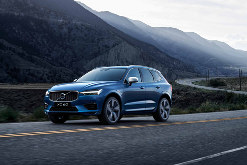
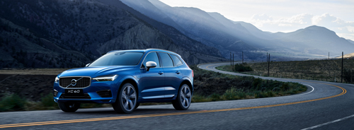
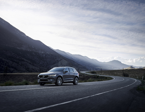
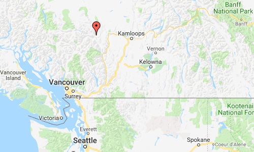
2017 – Volvo XC60 R-Design on Highway 99 or Road 99 north of Lillooet near Fountain 3A in BC, Canada 🇨🇦

2017 – Volvo XC60 R-Design on Highway 99 or Road 99 north of Lillooet near Fountain 3A in BC, Canada 🇨🇦

2017 – Volvo XC60 R-Design on Highway 99 or Road 99 north of Lillooet near Fountain 3A in BC, Canada 🇨🇦

2017 – Volvo XC60 on Highway 99 or Road 99 north of Lillooet near Fountain 3A in BC, Canada 🇨🇦

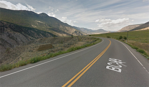
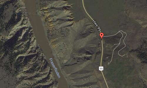
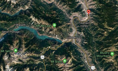
2018 – Highway 99 near Fountain 3A in Lillooet in British Colombia, Canada (Google Streetview)

Highway 99, also known as the Fraser Delta Thruway south of Vancouver, and the Sea to Sky Highway, the Squamish Highway, or Whistler Highway north of Vancouver, is the major north–south artery running through the Greater Vancouver area of British Columbia from the U.S. border, up Howe Sound through the Sea to Sky Country to Lillooet, and connecting to Highway 97 just north of Cache Creek. The number of this highway is derived from the old U.S. Route 99, with which the highway originally connected. The highway currently connects with Interstate 5 at the international border.

The total length of Highway 99 from the U.S. border to the Highway 97 junction is 409 kilometres. In 2006 the UK’s The Guardian newspaper listed the Sea to Sky as the fifth best road trip worldwide.

The “Sea to Sky Highway” is the name given to the section of Highway 99 from Horseshoe Bay to Pemberton. From Horseshoe Bay, the highway travels along the coast of Howe Sound. It continues for 12 kilometers to Lions Bay, north for another 21 kilometers, crossing into the Squamish-Lillooet Regional District en route to Britannia Beach, and north for 11 kilometers to Squamish, at the head of Howe Sound. From Squamish, it continues north for another 58 kilometers to Whistler, and then to Pemberton 32 kilometers later, where the Sea-to-Sky Highway ends and Duffey Lake Road begins. After going for almost 100 winding kilometers in very steep mountains where sometimes the speed limit is 30 km/h, (99 km) northeast, Highway 99 reaches the junction with Highway 12 at Lillooet, and then goes northeast for another 75 kilometers to its northern terminus at its junction with Highway 97, just north of Cache Creek and just south of Clinton. The speed limit of the Sea-to-Sky Highway ranges from 80 to 100 kilometers per hour with 60 kilometers per hour sections in Lions Bay, Britannia Beach and parts of Squamish.

More information at en.wikipedia.org and www.ourbc.com.

Volvo Photo Locations

Adelaide Street West in Toronto – CAN 🇨🇦

December 10th, 2018

International Volvo Photo Locations Part 341
HOME - Volvo Photo Locations
HOME www.volvophotolocations.com

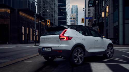
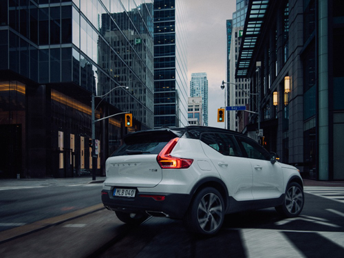
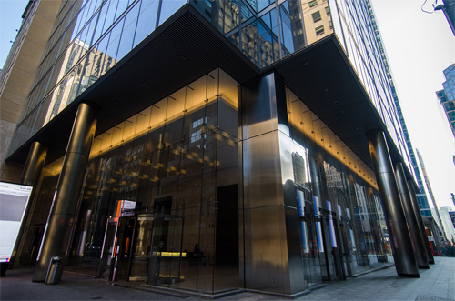
2018 – Volvo XC40 at Bay St and Adelaide Street West in Toronto, Canada 🇨🇦

2018 – Volvo XC40 at Bay St and Adelaide Street West in Toronto, Canada 🇨🇦

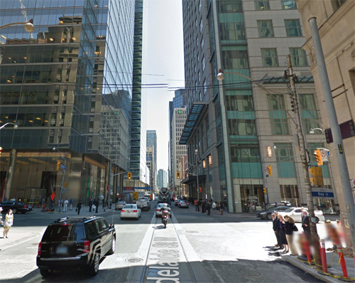
2018 – Adelaide Street West and Bay Street in Toronto (Google Streetview)

2018 – Adelaide Street West and Bay Street in Toronto (Google Streetview)

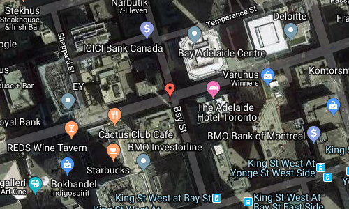
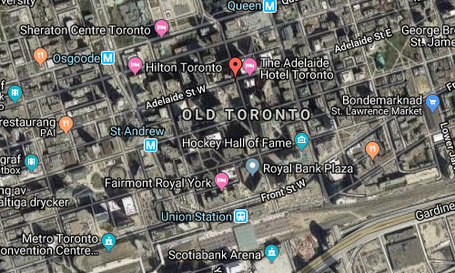
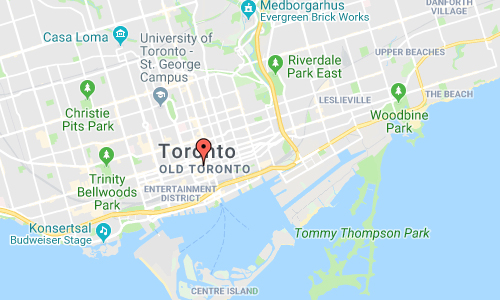
This location is at the corner of Adelaide Street West and Bay Street in Toronto, Canada. It is in the Financial District of Toronto.

The Financial District is a business district in Downtown Toronto, Ontario, Canada. It was originally planned as New Town in 1796 as an extension of the Town of York (later the St. Lawrence Ward). It is the main financial district in Toronto and is considered the heart of Canada’s finance industry. It is bounded roughly by Queen Street West to the north, Yonge Street to the east, Front Street to the south, and University Avenue to the west, though many office towers in the downtown core are being constructed outside this area, which will extend the general boundaries. Examples of this trend are the Telus Harbour and RBC Centre.

It is the most densely built-up area of Toronto, home to banking companies, corporate headquarters, high-powered legal and accounting firms, insurance companies and stockbrokers. In turn, the presence of so many decision-makers has brought advertising agencies and marketing companies. The banks have built large office towers, much of whose space is leased to these companies.

The bank towers, and much else in Toronto’s core, are connected by a system of underground walkways, known as PATH, which is lined with retail establishments making the area one of Toronto’s most important shopping districts. The vast majority of these stores are only open during weekdays during the business day when the financial district is populated. During the evenings and weekends, the walkways remain open but the area is almost deserted and most of the stores are closed.

It is estimated 100,000 commuters enter and leave the financial district each working day. Transport links are centered on Union Station at the south end of the financial district, which is the hub of the GO Transit system that provides commuter rail and bus links to Toronto’s suburbs.

The building on the left is The Bay Adelaide Centre, an office complex in the Financial District of Toronto, Ontario, Canada. The first phase, a 51-storey skyscraper known as Bay Adelaide West, was completed in July 2009. The second phase, the 44-storey Bay Adelaide East, was completed in October 2016. A third tower, Bay Adelaide North, is planned.

More information at en.wikipedia.org/wiki/Financial_District,_Toronto and en.wikipedia.org/wiki/Bay_Adelaide_Centre.

Big thanks to Chao, for finding this place in Toronto!

Volvo Photo Locations

Agora Theater on Nathan Phillips Square in Toronto – CAN 🇨🇦

December 10th, 2018

International Volvo Photo Locations Part 340
HOME - Volvo Photo Locations
HOME www.volvophotolocations.com

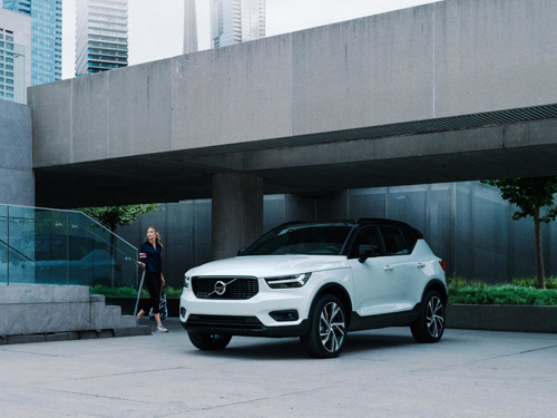
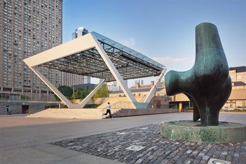
2018 – Volvo XC40 at Agora Theater on Nathan Phillips Square in Toronto Canada 🇨🇦

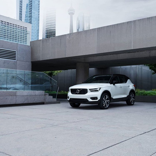
2018 – Volvo XC40 at Agora Theater on Nathan Phillips Square in Toronto Canada 🇨🇦

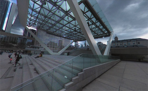
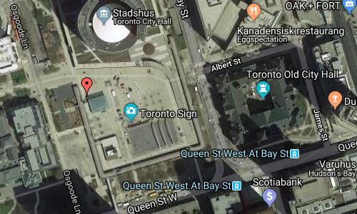
2018 – Agora Theater on Nathan Phillips Square in Toronto (Google Streetview)

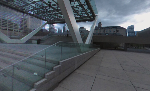
2018 – Agora Theater on Nathan Phillips Square in Toronto (Google Streetview)

The Agora Theater is located on the Nathan Phillips Square in Toronto, Canada.

The Agora Theatre is an awarded project for the revitalization of Nathan Phillips Square. The project was selected for the Toronto Urban Design Awards- Award of Excellence in 2007.

Nathan Phillips Square has always acted as an agora, the ancient Athenian place of public and political exchange, but also claims the dual functions of theatre, the place of focused gathering, and square. AGORA/THEATRE – the competition-winning project for the Nathan Phillips Square Revitalization competition in 2007 – clearly defines the interior space of theatre and square – a theatre for the city – where planned and unforeseen events are encouraged, against a vast forested perimeter of intimate programmed green rooms.

Nathan Phillips Square is an urban plaza in Toronto, Ontario, Canada. It forms the forecourt to Toronto City Hall, or New City Hall, at the intersection of Queen Street West and Bay Street, and is named for Nathan Phillips, mayor of Toronto from 1955 to 1962. The square was designed by the City Hall’s architect Viljo Revell and landscape architect Richard Strong. It opened in 1965. The square is the site of concerts, art displays, a weekly farmers’ market, the winter festival of lights, and other public events, including demonstrations. During the winter months, the reflecting pool is converted into an ice rink for ice skating. The square attracts an estimated 1.5 million visitors yearly. With an area of 4.85 hectares, it is Canada’s largest city square.

More information at en.wikipedia.org and www.branchplant.com.

Volvo Photo Locations

Designer Fabrics on Brock Ave and Queens St West in Ontario – CAN 🇨🇦

December 9th, 2018

International Volvo Photo Locations Part 339
HOME - Volvo Photo Locations
HOME www.volvophotolocations.com

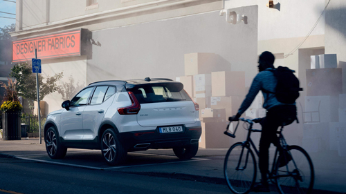
2018 – Volvo XC40 at Designer Fabrics on Brock Ave and Queens St W in Ontario, Canada 🇨🇦

2018 – Volvo XC40 at Designer Fabrics on Brock Ave and Queens St W in Ontario, Canada 🇨🇦

2018 – Volvo XC40 at Designer Fabrics on Brock Ave and Queens St W in Ontario, Canada 🇨🇦

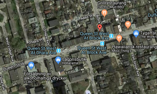
2018 – Designer Fabrics on Brock Ave and Queens St West in Ontario (Google Streetview)

2018 – Designer Fabrics on Brock Ave and Queens St West in Ontario (Google Streetview)

2018 – Designer Fabrics on Brock Ave and Queens St West in Ontario (Google Streetview)

Designer Fabrics was located at the corner of Brock Ave and Queens Street West in Ontario, Canada.

In August 2018, the famous store closed down.

From ordinary folk to the film and theatre industries, Designer Fabrics has become a household name for selling fabric, trim and hardware. The store at the corner of Queen St. W. and Brock Ave. supplied material to the Stratford and Shaw festivals. Renowned interior designers such as Sarah Richardson and Brian Gluckstein have shopped there.

Even costume designers for the Murdoch Mysteries television show and, most recently, the Oscar-winning movie The Shape Of Water have sourced items there.

“I love it, I will miss it; I had a good time with people, I made a buck, I did my best in this community while I was capable and I enjoyed every minute of it.”

But Fainer says he knows it’s time for him and his wife, Beverly, to retire. The couple recently bought and moved into a condo near Yonge St. and Sheppard Ave., but Fainer says it will be hard to adjust.

“I don’t know how to live in another place after so many years here in Parkdale,” he says.

He didn’t want to sell the business as is, and none of their three children wanted to take over and run it. So much the better, according to Fainer.

“I would be freaking out. I wouldn’t want anything to be messed up within my business,” he says.

Sitting in his office on the upper level of the store on Friday — decorated with pictures of grandkids, and framed messages and awards from various organizations — the self-made businessman reflected on the journey that brought Designer Fabrics to what it is today.

As a young immigrant from Poland, who arrived in Canada in the early 1950s, Fainer says he worked odd jobs like mopping floors of restaurants and offices across the city.

When he had enough capital, he opened a small rental storefront. Later he bought it and bought a property next to it, then the next one, and now his store has grown into almost an entire block covering more than 30,000 square feet.

Over the years he has travelled to India, Belgium, Italy, Germany, China and many other places, developing contacts with fabrics suppliers and retailing their wares to the Canadian market.

You get a sense of Designer Fabrics’ influence and its community outreach simply by looking at plaques, certificates and congratulatory messages adorning shelves in Fainer’s office.

More information at www.aseanbreakingnews.com and www.thestar.com.

Volvo Photo Locations

Polson Pier Parking Lot at Polson Street in Toronto – CAN 🇨🇦

December 9th, 2018

International Volvo Photo Locations Part 338
HOME - Volvo Photo Locations
HOME www.volvophotolocations.com

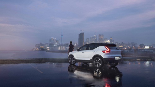
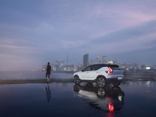
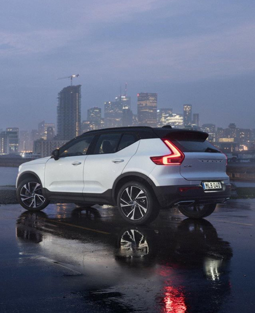
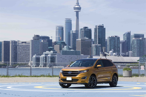
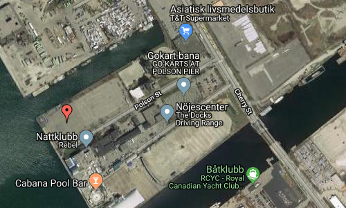
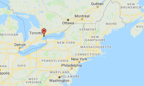
2017 – Volvo XC40 at Polson Pier Parking Lot at Polson Street on Polson Pier in Toronto Canada 🇨🇦

2017 – Volvo XC40 at Polson Pier Parking Lot at Polson Street on Polson Pier in Toronto Canada 🇨🇦

2017 – Volvo XC40 at Polson Pier Parking Lot in Totonto Canada 🇨🇦

2017 – Volvo XC40 at Polson Pier Parking Lot in Toronto Canada 🇨🇦

2017 – Volvo XC40 at Polson Pier Parking Lot in Toronto Canada 🇨🇦

2017 – Volvo XC40 at Polson Pier Parking Lot in Toronto Canada 🇨🇦

2017 – Volvo XC40 at Polson Pier Parking Lot in Toronto Canada 🇨🇦

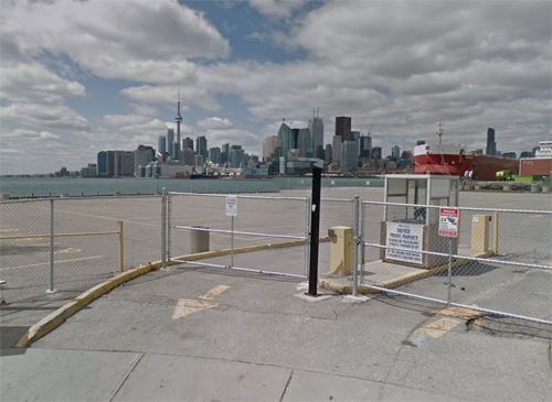
2018 – Polson Pier Parking Lot at Polson Street in Toronto (Google Streetview )

2018 – Polson Pier Parking Lot at Polson Street in Toronto (Google Streetview )

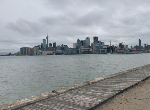
From the Polson Pier Parking Lot at Polson Street, you’ll get a great view on the Toronto Skyline!

Polson Pier, previously known as The Docks Waterfront Entertainment Complex (or simply The Docks), is a multi-purpose entertainment complex in Toronto, Ontario, Canada. It is located in the largely industrial Port Lands area of the city along the shore of Toronto Harbour. The site is also home to an amusement area, with facilities for go-karts, rock climbing, swimming, mini golf, beach volleyball, and a driving range.

Polson Pier is also home of the Rebel (formerly Sound Academy), a concert hall-nightclub. The Lakeview Drive-In is located at the far end of the driving range that is used during the day. The site is converted into a drive-in theater at sunset. It is the only drive-in movie theatre in downtown Toronto. Open on summer weekends, the drive-in can accommodate up to 1200 people and 500 vehicles.

In 1999 there was discussion that ferries from the Toronto Ferry Services should depart from a landing at the Docks.

Rebel (originally the Docks Nightclub & Concert Theater and then Sound Academy) is a nightclub and concert venue located on the Polson Pier in Toronto, Canada. Launched in October 2016, the complex resides on the edge of Lake Ontario overlooking the Toronto city skyline. The main room boasts a 65-foot stage with an expansive installation of LED video walls as well as outdoor grand terraces. The mezzanine hosts the central bar which includes built-in seating. The venue opened in 1996. A major renovation in 2016 split the venue into four rooms: “The Main Room”, “City Bar”, “Noir” and the “Purple Room”. The entire venue (as a whole) can house 3,700, with the concert venue holding up to 2,500 spectators.

More information at en.wikipedia.org and nationalpost.com.

Volvo Photo Locations

Cherry Street Strauss Trunnion Bascule Bridge in Toronto – CAN 🇨🇦

December 7th, 2018

International Volvo Photo Locations Part 337
HOME - Volvo Photo Locations
HOME www.volvophotolocations.com

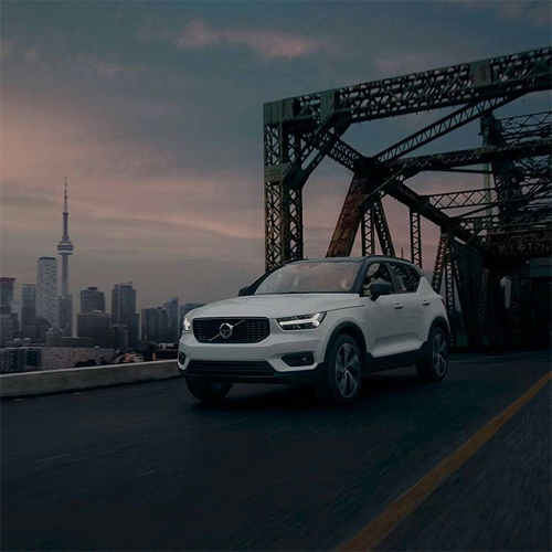
2018 – Volvo XC40 at Cherry Street Strauss Trunnion Bascule Bridge in Toronto Canada 🇨🇦

2018 – Volvo XC40 at Cherry Street Strauss Trunnion Bascule Bridge in Toronto Canada 🇨🇦

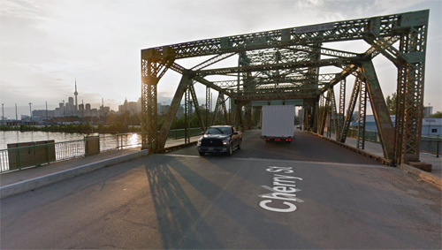
2018 – Cherry Street Strauss Trunnion Bascule Bridge in Toronto (Google Streetview)

2018 – Cherry Street Strauss Trunnion Bascule Bridge in Toronto (Google Streetview)

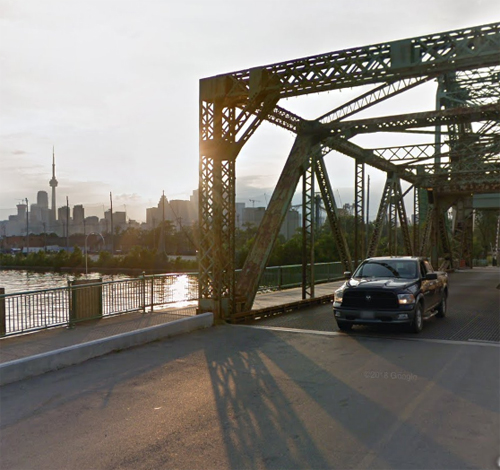
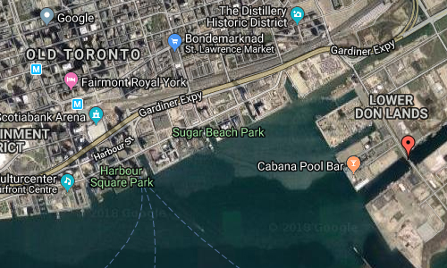
The Cherry Street Strauss Trunnion Bascule Bridge is a bascule bridge and Warren truss in Toronto, Ontario, Canada. Located in the industrial Port Lands area, it carries Cherry Street over the Toronto Harbour Ship Channel and opens to allow ships to access the channel and the turning basin beyond. There are two bascule bridges on Cherry Street. The other, smaller bridge, crosses the Keating Channel, while this bridge crosses the Ship Channel.

The bridge was built in 1930 by the company of Joseph Strauss and the Dominion Bridge Company. The north side of the bridge has 750-ton concrete counterweights that allow the bridge to pivot to open. The bridge uses 500 tons of steel in its construction. The bridge is designed to carry two lanes of traffic. It cost CA$500,000 ($7.95 million in 2017 dollars) to build. It was officially opened on June 29, 1931 by Toronto Mayor William Stewart. The bridge was listed under the Ontario Heritage Act by the City of Toronto in 1992 as architecturally historical.

The city spent CA$2.5 million to refurbish the bridge in 2007. The Toronto Port Authority made further repairs from December 2012 to September 2013 at a cost of CA$2 million.

More information at en.wikipedia.org and www.blogto.com.

Big thanks to Chao, for finding this place in Toronto!

Volvo Photo Locations

Craneway Pavilion on Harbour Way South in Richmond – USA 🇺🇸

December 7th, 2018

International Volvo Photo Locations Part 336
HOME - Volvo Photo Locations
HOME www.volvophotolocations.com

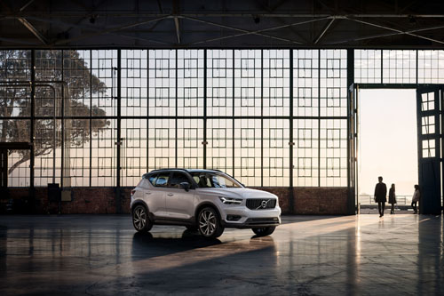
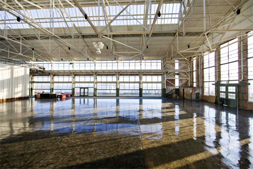
2017 – Volvo XC40 in Craneway Conference Center at the Craneway Pavilion on 1414 Harbour Way South in Richmond, CA, USA 🇺🇸

2017 – Volvo XC40 in Craneway Conference Center at the Craneway Pavilion on 1414 Harbour Way South in Richmond, CA, USA 🇺🇸

2017 – Volvo XC40 in Craneway Conference Center at the Craneway Pavilion on 1414 Harbour Way South in Richmond, CA, USA 🇺🇸

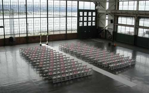
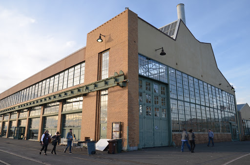
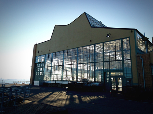
2018 – Craneway Conference Center at the Craneway Pavilion on Harbour Way South in Richmond

2018 – Craneway Conference Center at the Craneway Pavilion on Harbour Way South in Richmond

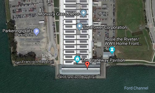
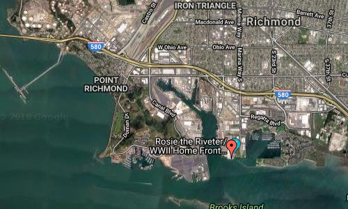
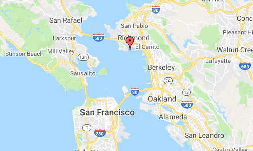
The Craneway Conference Center is located in the Craneway Pavilion on Harbour Way South in Richmond, USA. This location is historically known as the The Ford Richmond Plant, formally the Ford Motor Company Assembly Plant in Richmond, California.

As state-of-the-art as it is historic, Craneway Pavilion is a 45,000 square-foot facility in an award-winning, architecturally significant Ford Assembly Plant building dating back to 1931, with an adjoining 20,000 square-foot open-air patio, seamlessly blending indoor and outdoor spaces. Additional conference space with break out rooms available.

Craneway’s atmosphere and amenities set the stage for special occasions, meetings and cultural highlights—of every size and every stripe—as unforgettable as San Francisco Bay Area itself.

The Ford Richmond Plant, formally the Ford Motor Company Assembly Plant, in Richmond, California, was the largest assembly plant to be built on the West Coast and its conversion to wartime production during World War II aided the United States’ war effort. The plant is part of the Rosie the Riveter/World War II Home Front National Historical Park and is listed on the National Register of Historic Places. It currently houses the Craneway Pavilion, an event venue.

Built in 1930 during the Great Depression, the assembly plant measures nearly 46,450 m². The factory was a major stimulant to the local and regional economy and was an important development in Richmond’s inner harbor and port plan. Ford became Richmond’s third largest employer, behind Standard Oil and the Santa Fe Railroad. It is also an outstanding example of 20th-century industrial architecture designed by architect Albert Kahn, known for his “daylight factory” design, which employed extensive window openings that became his trademark. The main building is composed of a two-story section, a single-story section, a craneway, a boiler house and a shed canopy structure over the railroad track.

To ensure that America prepared for total war by mobilizing all the industrial might of the United States, President Franklin D. Roosevelt banned the production of civilian automobiles during WWII. The Richmond Ford Assembly Plant switched to assembling jeeps and to putting the finishing touches on tanks, half-tracked armored personnel carriers, armored cars and other military vehicles destined for the Pacific Theater. By July 1942, military combat vehicles began flowing into the Richmond Ford plant to get final processing before being transported out the deep-water channel to the war zones. The “Richmond Tank Depot” (only one of three tank depots in the country as the Ford plant was then called, helped keep American fighting men supplied with up-to-the-minute improvements in their battle equipment. Approximately 49,000 jeeps were assembled and 91,000 other military vehicles were processed here.

In mobilizing the wartime production effort to its full potential, Federal military authorities and private industry began to work closely together on a scale never seen before in American history. This laid the groundwork for what became known as the “military-industrial complex” during the Cold War years. This Assembly Plant was one cog in the mobilization of the “Arsenal of Democracy” and a historic part of what is today’s industrial culture of the United States.

After the war, the devastation to the local economy as a result of the closing of the Richmond Shipyards would have been crippling had it not been for the continued production of the Ford Plant. The last Ford was assembled in February 1953, with the plant being closed in 1956 and production transferred to the San Jose Assembly Plant because of the inability to accommodate increased productivity demands.

In 1989, the Loma Prieta earthquake severely damaged the plant. After the earthquake, the City of Richmond repaired and prepared the Ford Assembly building for rehabilitation and selected Orton Development as the developer of the rehabilitation project. In 2008, after the building’s rehabilitation was completed, tenants including SunPower Corporation and Mountain Hardwear made the building their new home. The craneway of the building is also used for banquets, weddings, and corporate events.

More information at en.wikipedia.org and craneway.com.

Volvo Photo Locations

Hamilton Gears Warehouse on Dupont Street in Toronto – CAN 🇨🇦

December 7th, 2018

International Volvo Photo Locations Part 335
HOME - Volvo Photo Locations
HOME www.volvophotolocations.com

2018 – Volvo XC40 at former Hamilton Gears Warehouse on 950 Dupont Street in Dovercourt Park, Toronto, Canada 🇨🇦

2018 – Volvo XC40 at Hamilton Gears warehouse at 950 Dupont St in Ontario in Canada 🇨🇦

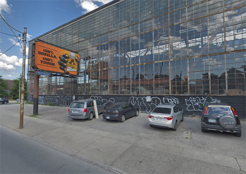
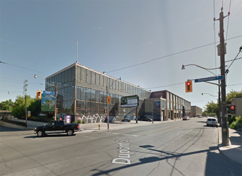
2018 – Hamilton Gears Warehouse on Dupont Street in Toronto (Google Streetview)

2018 – Hamilton Gears Warehouse on Dupont Street in Toronto (Google Streetview)

Hamilton Gears Warehouse is located at the corner of Dupont Street and Dovercourt Road in Toronto, Canada.

The building, at 950 Dupont St., was once the home of the Hamilton Gear and Machinery Co. It was just one of dozens of manufacturing plants that once lined Dupont St., just north of Bloor St.

Today, the plants are gone, and the area is more of a home to car repair shops and hardware stores than upscale bars and restaurants.

“Enterprises, as great as Eastern Airlines or as lowly as a corner store, will often die pathetically, with no ceremony or celebration of their achievements. Dupont Street in Toronto at the close of the twentieth century is an open graveyard of such industries, most of which collapsed without so much as a pauper’s funeral,” wrote Toronto Star editor Alfred Holden in a 1998 essay for Taddle Creek Magazine.

“Their skeletons lie exposed. They are the parking lots, warehouse loft condos and retail joints of the post-industrial age.”

Holden wrote that everything from the machinery needed to open and close the pilot’s canopy over the cockpit in the supersonic Avro Arrow jet to the gears that transmit power to the retractable roof of the Rogers Centre were made at the Hamilton plant.

In 2014, there were plans the a popular Toronto craft brewery named Bellwoods Brewery would be expandingand putting new life into a this once mighty building and neighborhood. The had set its sights on a 20,000-square-feet warehouse at Dupont St. and Dovercourt Rd. as the future headquarters for its brewing operations.

In 2016 shoe Vans moved in. “The west-side street is back at it again as the latest incarnation of the House of Vans gets ready to move into the Hamilton Gears warehouse.

Located at 950 Dupont St., this massive warehouse will eventually become the next Bellwoods Brewery outpost. Before then, the House of Vans will set up shop temporarily, from March 16 to April 2 (in 2016).

This branded mega-facility will feature a skatepark, art gallery and musical performances, though the lineup hasn’t been released yet.”

For the famous Dupont street, a wave of redevelopment is planned!

More information at urbantoronto.ca and www.thestar.com.

Volvo Photo Locations